Water is central to our human existence, and yet it is easily taken for granted. We turn the tap and clean safe water is instantly there; our waste is forgotten as it disappears down the drain. The complexity and scale of the infrastructure behind water and waste management is completely hidden by this simplicity. This project seeks to bring that complexity and scale to the fore and is progressing in two stages.
‘Wet Areas’ – household water entanglements
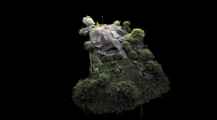
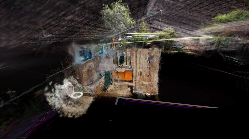
Our immediate experience of water and waste is in our homes. In the first stage of the project 3D scanned models of household spaces where we interact with water or waste water are combined with ambient and contact microphone audio recordings of water in motion to create an immersive exploratory house for the viewer to survey the movement of water within the fabric of our homes. Public utility maps of the immediate water, sewer and electricity services ground the house within that vast context. Presented in a linear video format the viewer is transported from the sewer line to the water meter via all the ‘wet areas’ in between. A 360 degree immersive video version has been developed and an interactive immersive version is under development.
Exhibited at Newcastle Art Space ‘Freshwater to Fatbergs’ exhibition, May 2026 in a screen-based HD format.
Regional networks – regional water entanglements
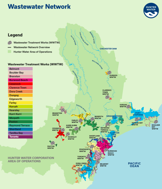
In the lower Hunter Valley seasonal rain falling on the mountainous north of the region [image below] is captured in three main dams and 70 year old rainfall is held in the sand beds in the northeast. This freshwater is stored, treated and distributed to more than 250,000 households. The waste water from those households is processed in one of 19 wastewater treatment plants before reentering the natural local, regional and global water systems. The ‘Wet Areas’ household is in the Belmont WWTW area.
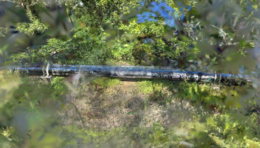
It is intended that Stage 2 of the project will work with GIS data for the water distribution and collection network to create a street level network diagram of pipes, storage tanks, pumping stations and treatment plants. This will be combined with 3d modelled and audio sampled infrastructure [e.g. the above ground wastewater pipeline in the image below] and the ‘Wet Areas’ household model to form a network level immersive exploratory scene. Further development will connect visualisation of patterns of ocean evaporation and rainfall within the global scale You Are Here project to place the network within its whole-earth system.