
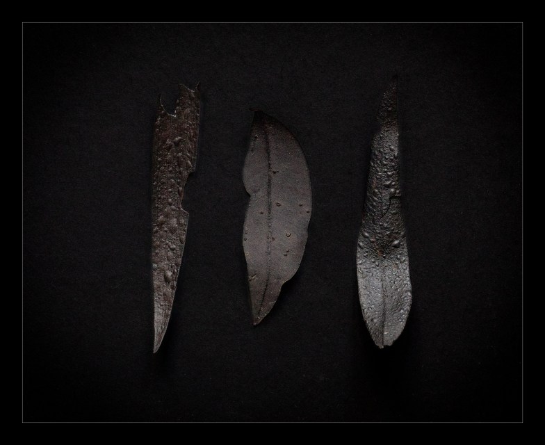
Early in the morning of December 7, 2025 an intense bushfire fanned by a northerly breeze had reached the northern edge of Redhead, my suburb. Our house was 400m downwind of the front. At 2 am we received a text alert: “too late to leave, shelter in your home”. We slept through it. The next morning there was smoke in the air, a light ash was falling and charred leaves were scattered around our home. No properties were lost but we heard that an extensive effort went into defending the aged care home on the edge of the fire.
Quelling the fire
Include:
– extent of fire and firefighting activities over 3 days
– RFS response – number of units, people, stations (eg Kariong)
– defense of age care facility
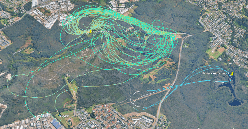
– helicopters and water bombing
Capturing the recovering environment
Include:
– Learning how to 3D capture [delay before good captures and considered strategy]
– What to capture [detail views and which areas and plants recover in sequence]
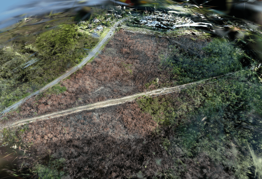
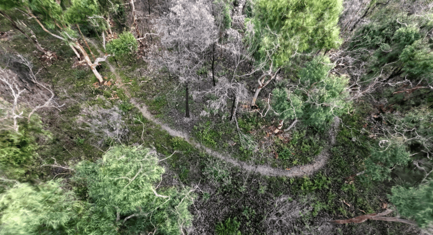
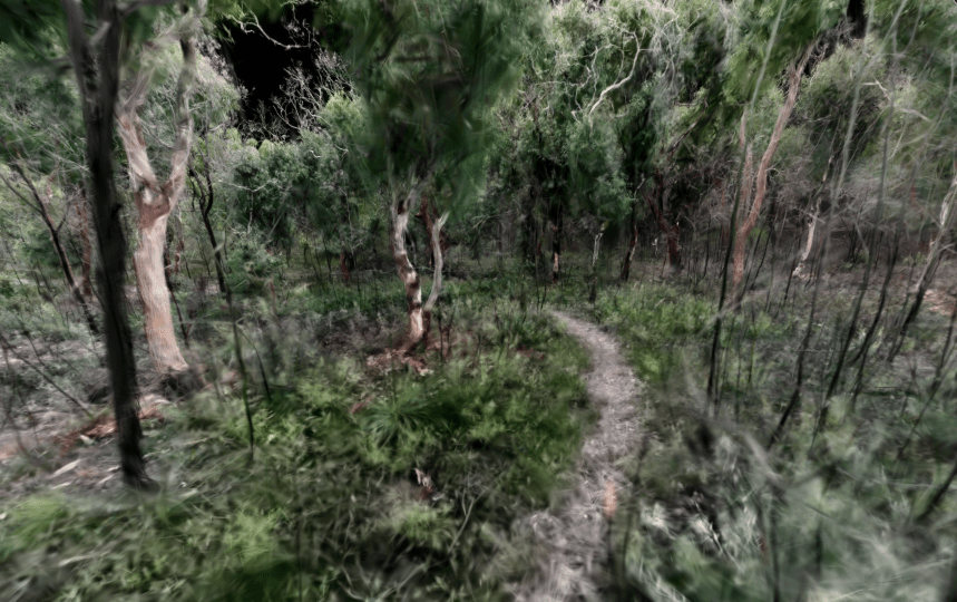
Repeated captures of the same scene can be presented in different immersive and/or interactive ways. For example 5 captures over 3 months [below] show the greening of the Angophora tree canopy [see below]:
Other experimental samples include:
– https://www.instagram.com/p/DUuDrBVEiJE/
– https://www.instagram.com/p/DXql0hRklj6/
With ground based photography and photogrammetry techniques, or the use of a scanning app (e.g. Scaniverse), detailed close scenes have been 3D captured – individual trees or shrubs as they recover or small areas of ground. This patch of ground, for example, has been annotated in the Supersplat website: https://superspl.at/scene/f28ee32e [screenshot below]
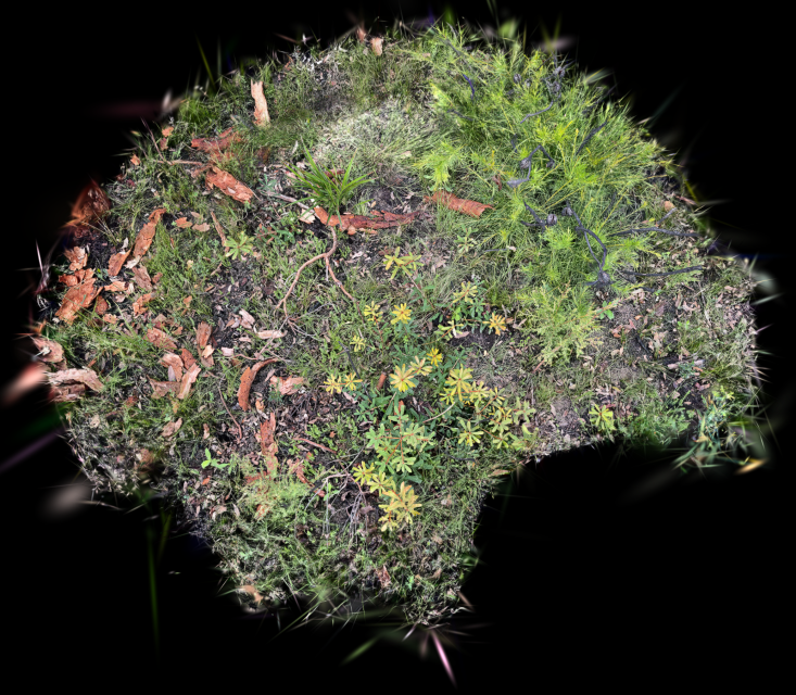
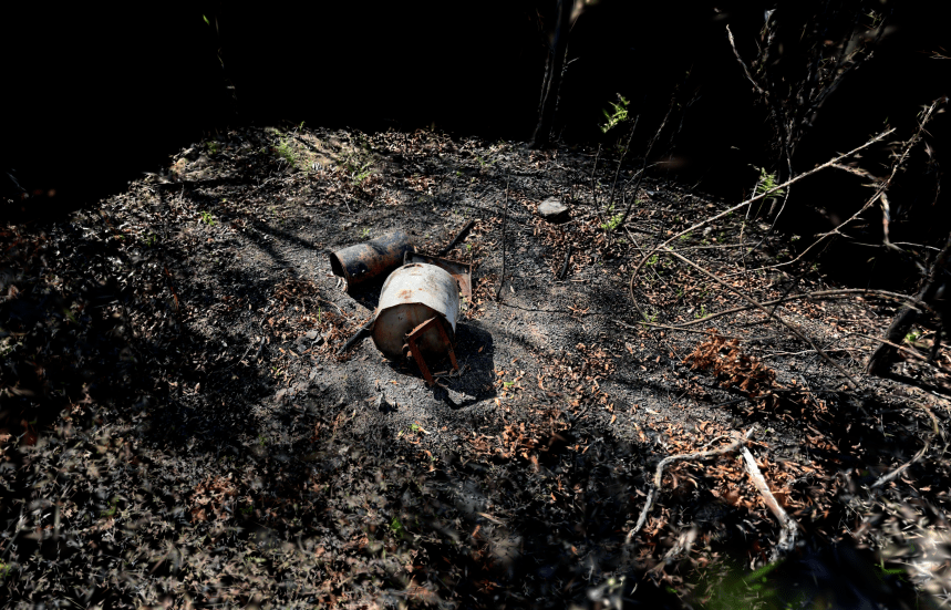
Or the 100s of discarded objects revealed by the fire that show a long history of a different social relationship with the bushland environment. (~ 25 objects captured)
Possibilities:
Themes:
- The idea of a ‘natural’ bushland’s entanglements with many other social and ecological systems:
– recreational trail bike users cutting paths (and trees)
– the high voltage power line bisecting the bushland
– the long history of dumping rubbish and fill close to access points
– the penetration of non-native species via these incursions
– water hydrant locations alongside main road - The cycle of destruction and recovery and the sensitivity to scale and frequency of fire – Panarchy analysis [https://www.resalliance.org/panarchy]
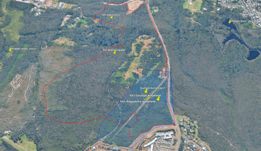
- Patchwork of plant communities within area (bloodwood, allocasuarina, angophora, banksia heath)
- The RFS firefighters as social ‘volunteer’ system defending property and landscape (data visualisation of flight paths and RFS crew journeys from home base)
- Connections with local, regional and global atmospheric systems in the You Are Here project
Expressive outcomes:
- Develop various formats
– standard and immersive video
– screen and immersive interactive - Integrate with the You Are Here interactive project at a local or bioregion level
- Explore collaboration potential, e.g. indigenous and landcare volunteer perspective

